
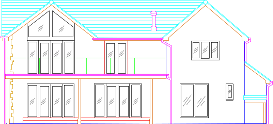
Drawn Elevation
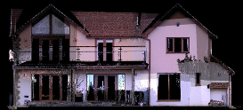
Laser Scan Image
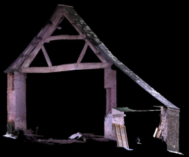
Internal truss detail
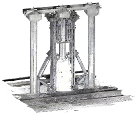
Structural scan
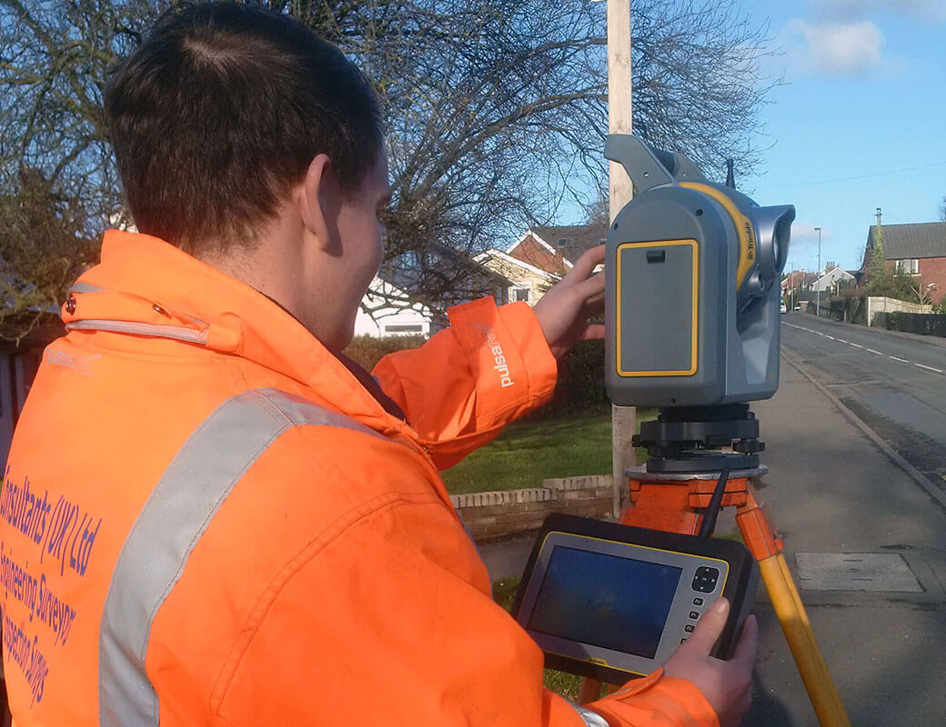
Land Surveys
Surveys can be of a single parcel of land or a few hundred Acres of land. We can provide detailed plans of the area that you require.
Learn More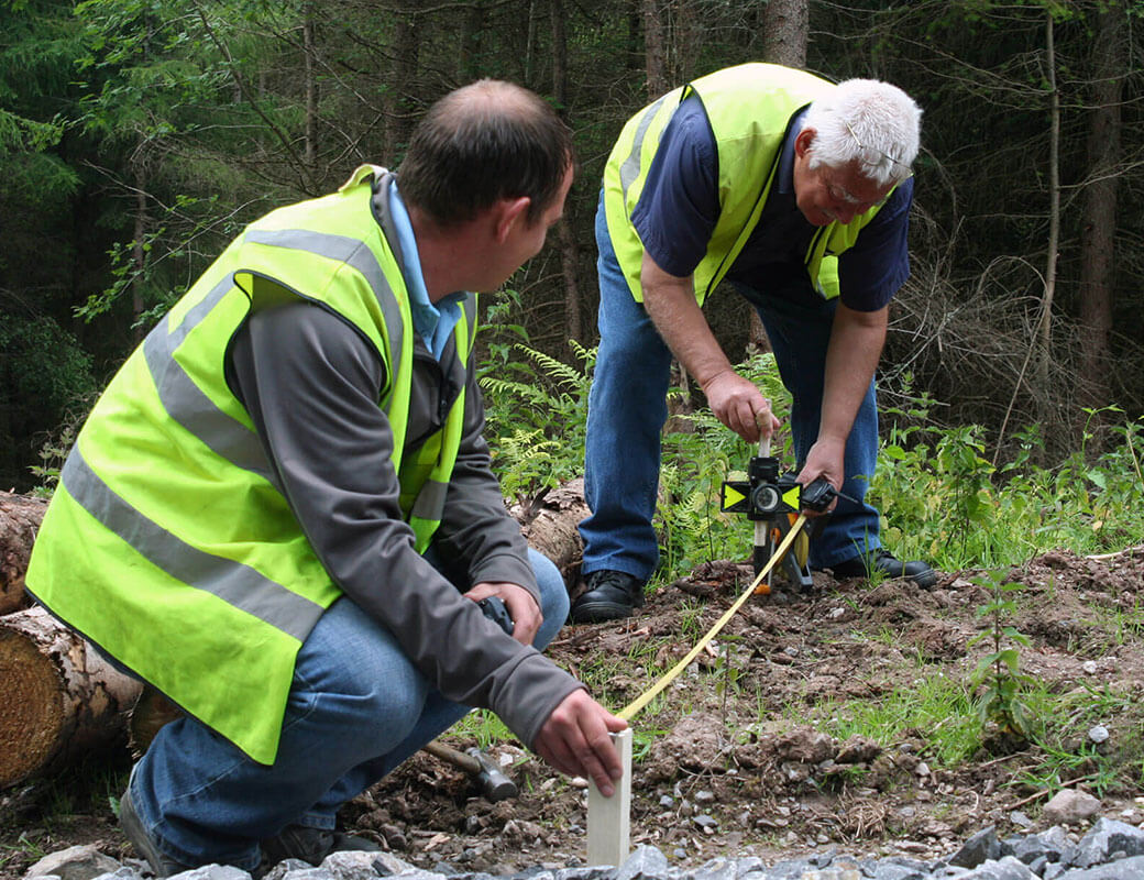
Setting Out
We offer a variety of setting out services from the initial site visit through to the checking of the final work and producing as-built drawings.
learn more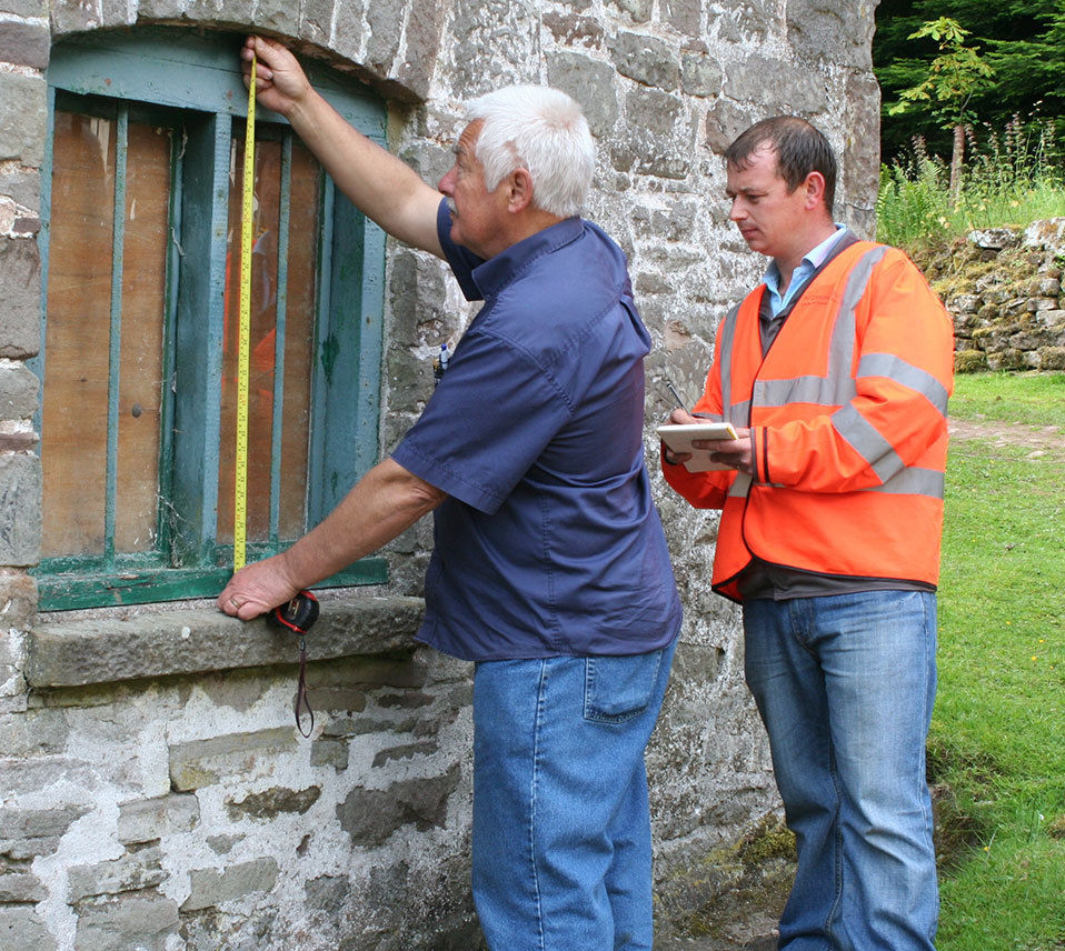
Building Survey
Accurate surveys are carried out which can include all fixtures fittings with details of door and window heights and floor areas.
learn more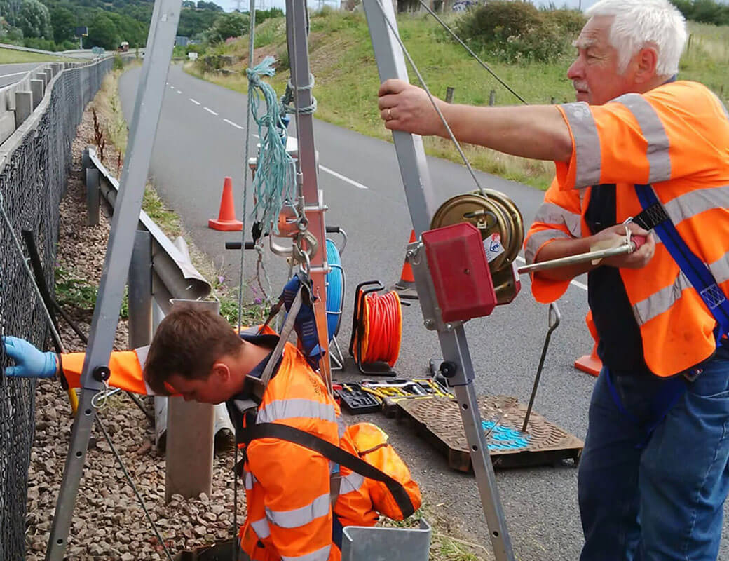
Drainage Surveys
For over 15 years we have provided CCTV sewer surveys for a range of clients.
learn more
Specialised Surveys
Ground modelling software combined with our modern equipment allow us to calculate accurate areas and volumes – from areas of tarmac or floor space of a retail unit to a ship load of coal.
learn more